Google Maps Integration Honolulu HI
AeroFrohne integrates high-resolution ortho maps directly into Google Maps for Honolulu, Hawaii. We replace outdated satellite imagery with current aerial data for hospitality properties, military-adjacent facilities, marinas, and urban construction projects.
Resolution Comparison
Satellite vs. Drone Orthomosaic
See the difference between standard Google Earth satellite imagery and AeroFrohne's real time, sub inch resolution drone capture.
The Clarity Advantage
- Resolution: Up to 100x higher detail than standard satellite data.
- Recency: Capture current site conditions across Honolulu County and nearby corridors.
- Integration: We tile these images directly over Google Maps using GeoTIFF overlays.
- Readability: Clearly see pipeline markers, utility covers, and ranch fencing.
Drone vs. Airplane Mapping
| Feature | Drone Orthomosaic (Low Altitude) | Airplane Ortho (High Altitude) |
|---|---|---|
| Ideal Project Size | Under 500 Acres (Frac Pads, Campuses, Refineries) | 500 - 100,000+ Acres (Pipelines, Cities, Ranches) |
| Resolution (GSD) | Ultra High (0.5 cm - 2cm per pixel) | High (3" - 6" per pixel) |
| Deployment Speed | Within 48 hours | Planned (Requires flight plans/ATC/FAA Authorization) |
| Google Maps Overlay | High Zoom Detail (See valves & equipment) | Regional Context (See roads & terrain) |
Why invest in Google Maps visibility
Reduce visitor friction and increase trust in Honolulu. Updated map context improves wayfinding for campuses, jobsites, and customers searching locally before they arrive.
Capture + compliance + publishing
AeroFrohne provides end-to-end capture, processing, and publishing support while aligning flight operations with local airspace requirements across Oahu.
Industries
Hospitality & Resort Operations
Honolulu hospitality properties use orthomosaics to coordinate active sites.
• Guest circulation and amenity visibility
• Renovation progress documentation
• Vendor and service access planning
• Visual updates for ownership groups
Marinas & Waterfront Assets
Aerial basemaps support marina and waterfront operations.
• Dock and shoreline infrastructure visibility
• Maintenance planning for marine facilities
• Before/after repair documentation
• Clear communication with stakeholders
Urban Construction Projects
Dense urban sites in Honolulu benefit from repeat aerial capture.
• Crane and staging logistics visibility
• Progress reporting for multi-phase builds
• Utility and access coordination context
• Improved owner-contractor alignment
Military-Adjacent & Secure Facilities
Orthomosaics support planning where access is controlled.
• Perimeter and route context for planning
• Facility-adjacent infrastructure visibility
• Project documentation for authorized teams
• Consistent records for compliance workflows
Transportation & Civic Infrastructure
Public infrastructure projects gain clarity from high-resolution maps.
• Corridor and intersection context
• Drainage and utility coordination support
• Milestone tracking imagery
• Agency stakeholder communication
Emergency Preparedness & Recovery
Island communities rely on strong pre/post event documentation.
• Pre-event baseline capture
• Post-storm condition assessment support
• Access and debris-route visibility
• Rapid visual communication for response teams
Google Maps Integration
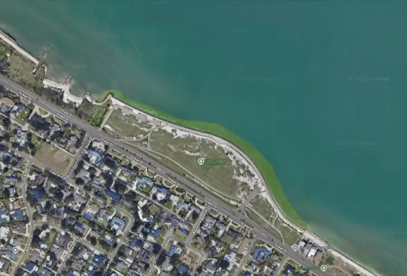
Example: Integrated aerial view of Swantner Park
Common Questions
What is Google Maps integration?
It is the process of capturing high quality drone orthomosaic imagery (and connected walkthrough paths) and publishing it so users can explore a location directly inside Google Maps.
Do you handle capture and publishing?
Yes. AeroFrohne provides end to end capture, processing, and publishing support.
How long after processing will my map appear in Google Maps?
Typically between 4 to 5 months for full drone ortho to satellite layer updates.