
About AeroFrohne
AeroFrohne’s mission is to integrate artificial intelligence, architecture, civil engineering, land surveying, and drone services to deliver accurate, innovative, and efficient solutions for the built environment.
Founder perspective
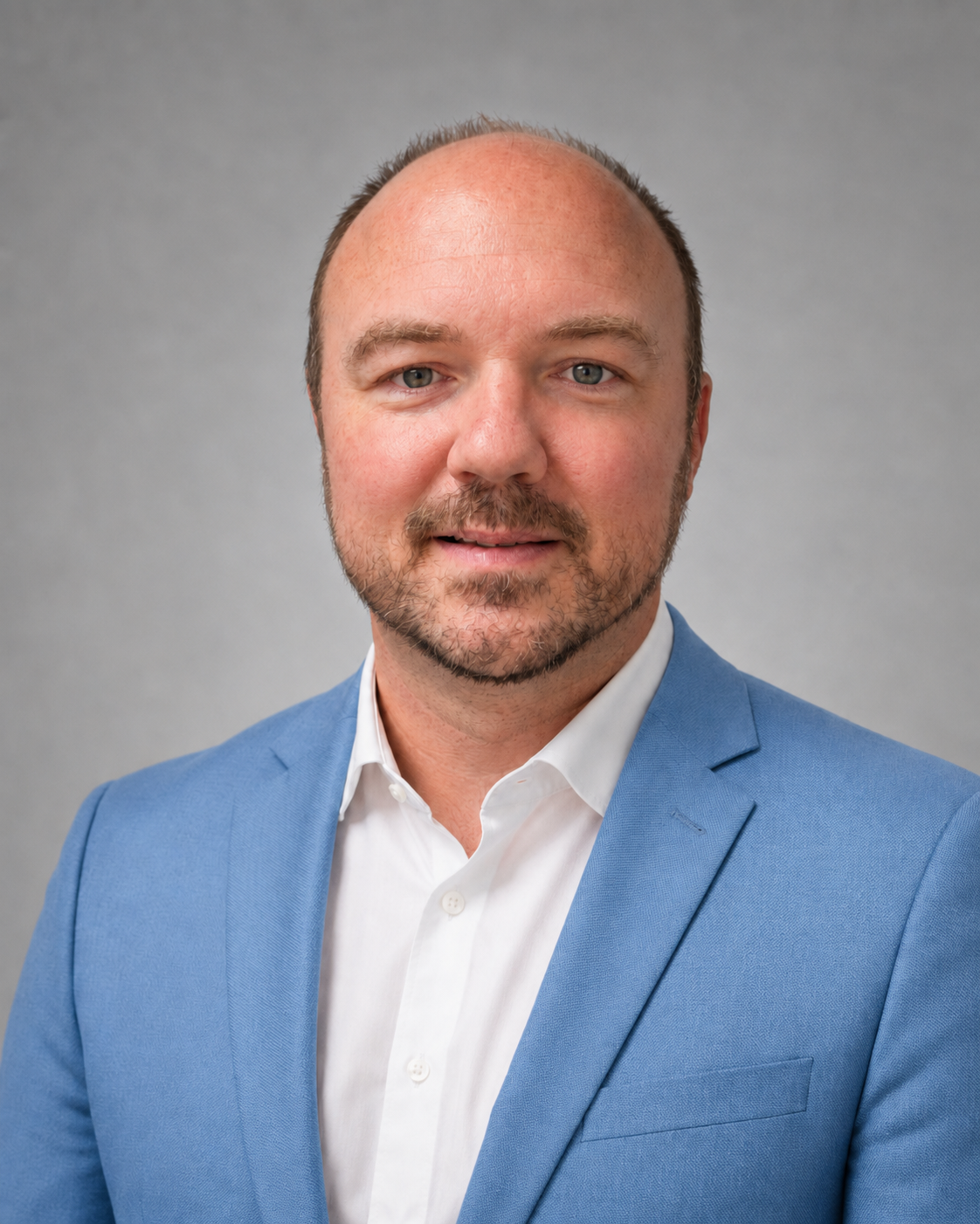
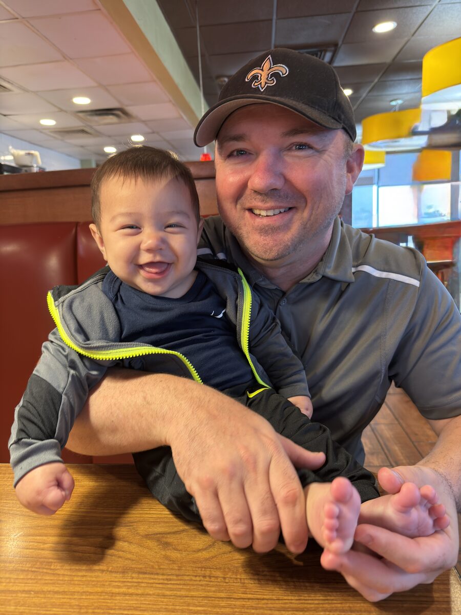
Meet Derrick Frohne.
Founder + Owner
As the Founder and Owner Derrick combines field operations, software development, design, and applied Ai to advance AeroFrohne’s capabilities. He remains closely involved in technical direction, research and development, system design, and quality control while guiding the company’s expansion into global markets. His work transforms complex sensor and imagery data into practical, measurable tools for clients.
Executive perspective
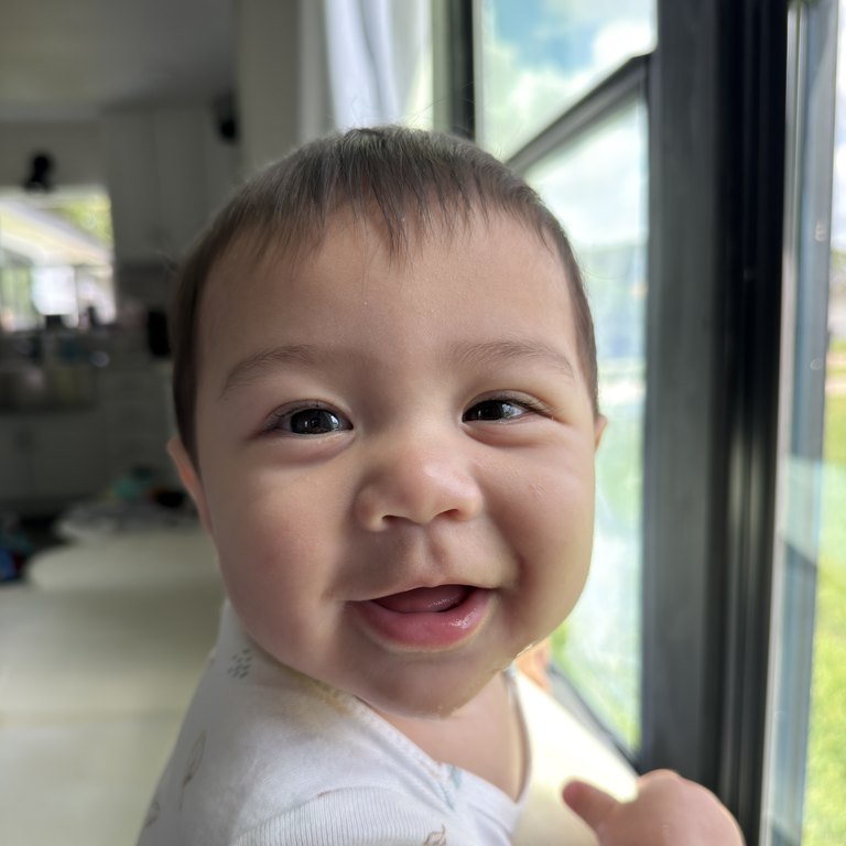
Meet Hans Frohne.
Chief Inspiration Officer
As the Founder’s son, Hans brings a fresh perspective to every project mostly because he has not yet learned what a project is. With zero years of experience and unlimited confidence, Hans leads with a simple vision: more milk, fewer meetings, and Ms Rachel on every screen. He has also mastered the art of mobilizing the entire executive team before sunrise. His leadership style is adorable, decisive, and subject to sudden nap related changes. Hans consistently tells Dad to replace quarterly reviews with peekaboo. Hans provides strategic inspiration through smiles, giggles, and one more episode of Little Baby Bum. Hans may be the smallest person on the team, but he has the biggest opinions about milk, naps, and what plays next on the TV.
Field perspective
Meet Edgar López.
Civil Engineer + Surveyor
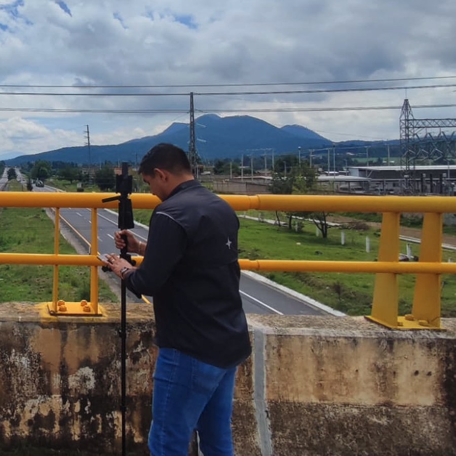
Edgar strengthens AeroFrohne’s civil engineering, surveying, and aerial documentation capability. His field portfolio captures the relationships between terrain, water infrastructure, transportation corridors, drainage works, bridges, and the surrounding environment.
Survey leadership
Meet Thomas Davis.
Surveyor
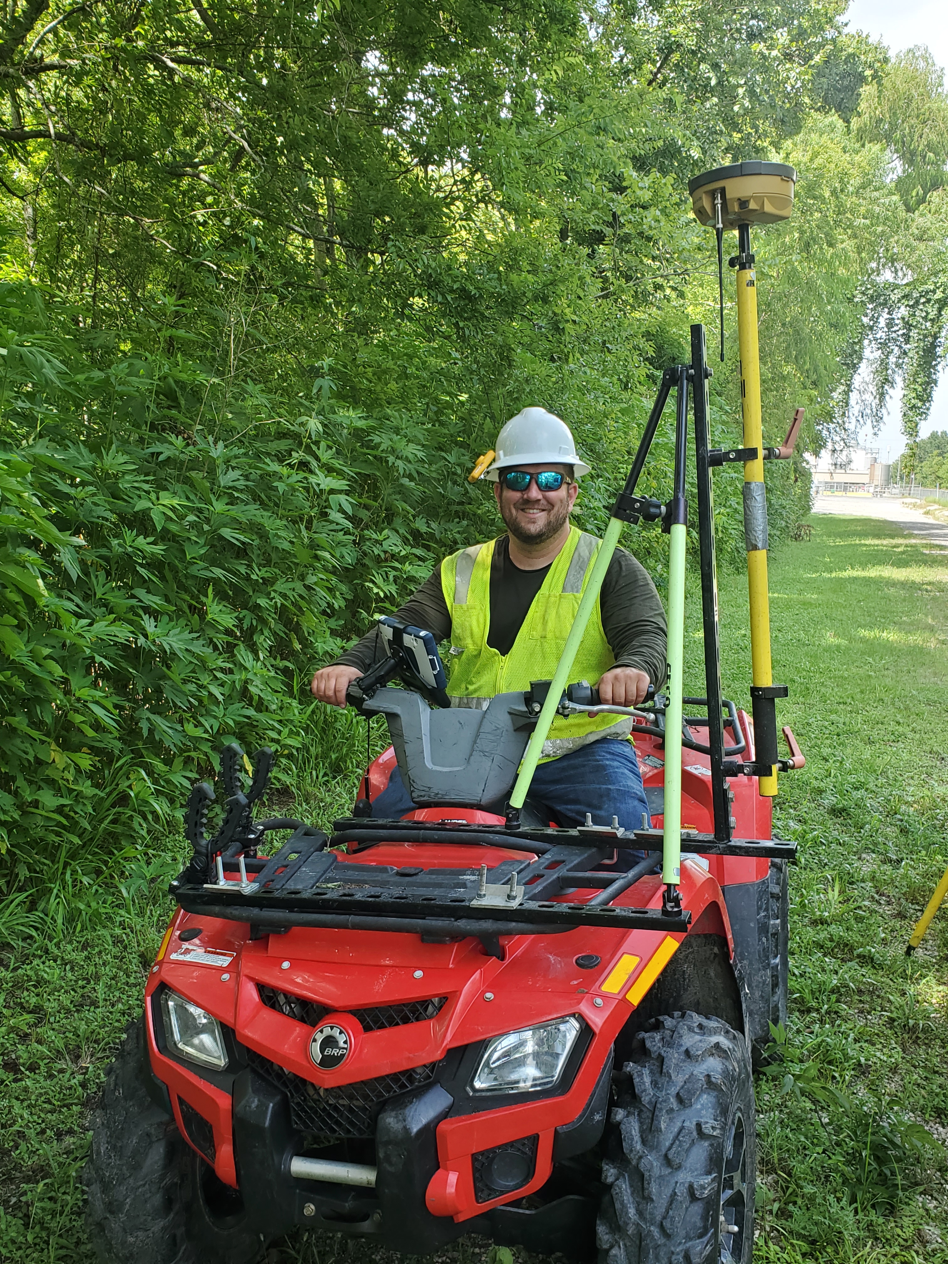
Thomas strengthens AeroFrohne’s surveying capability with registered practice in Texas and Louisiana and leadership across boundary, topographic, hydrographic, LiDAR, and UAS programs. His disciplined field execution and technical quality review help turn complex infrastructure data into dependable engineering deliverables.
Architectural visualization
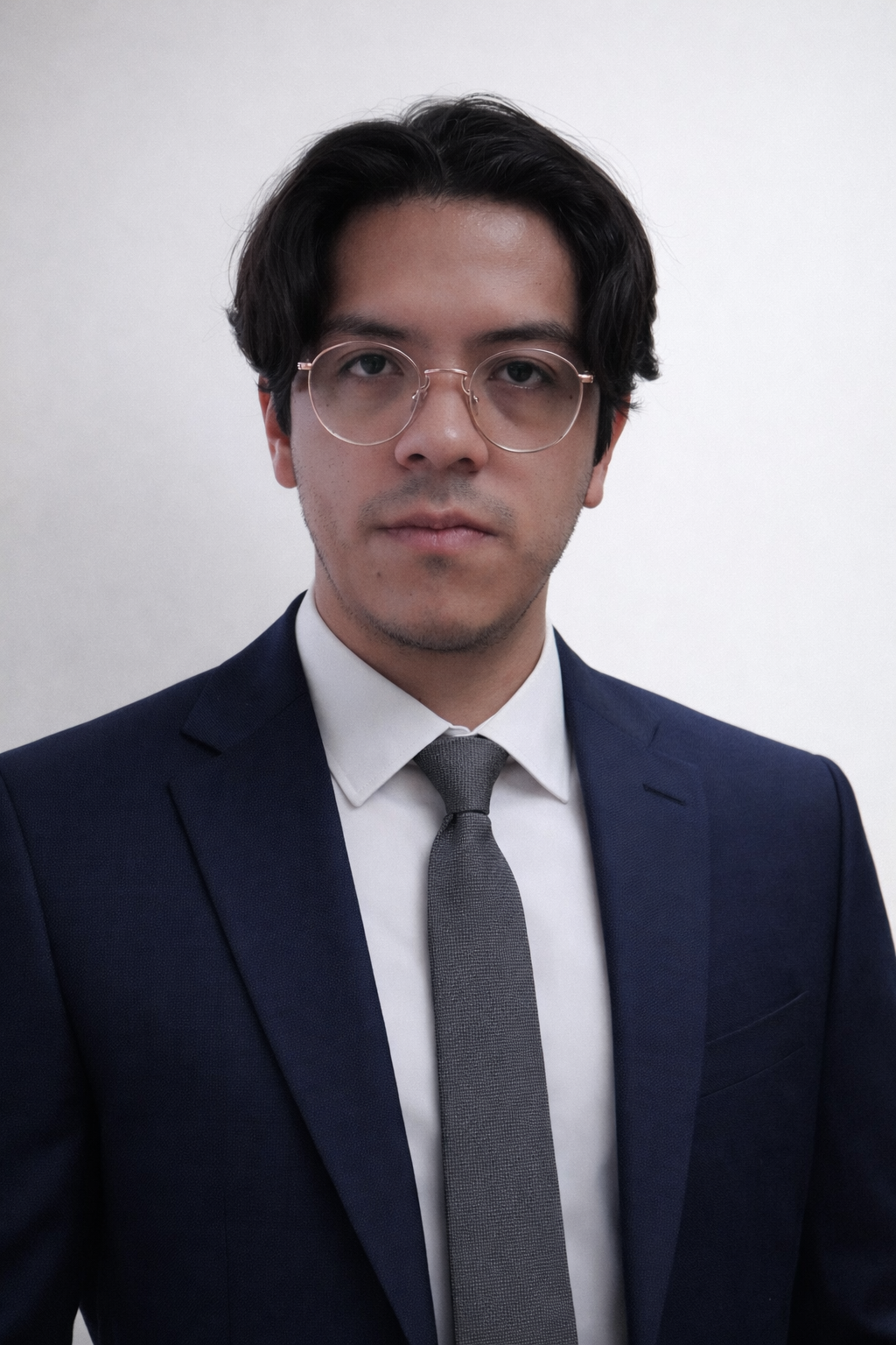
Meet Fidel Sánchez.
Architect · Mexico
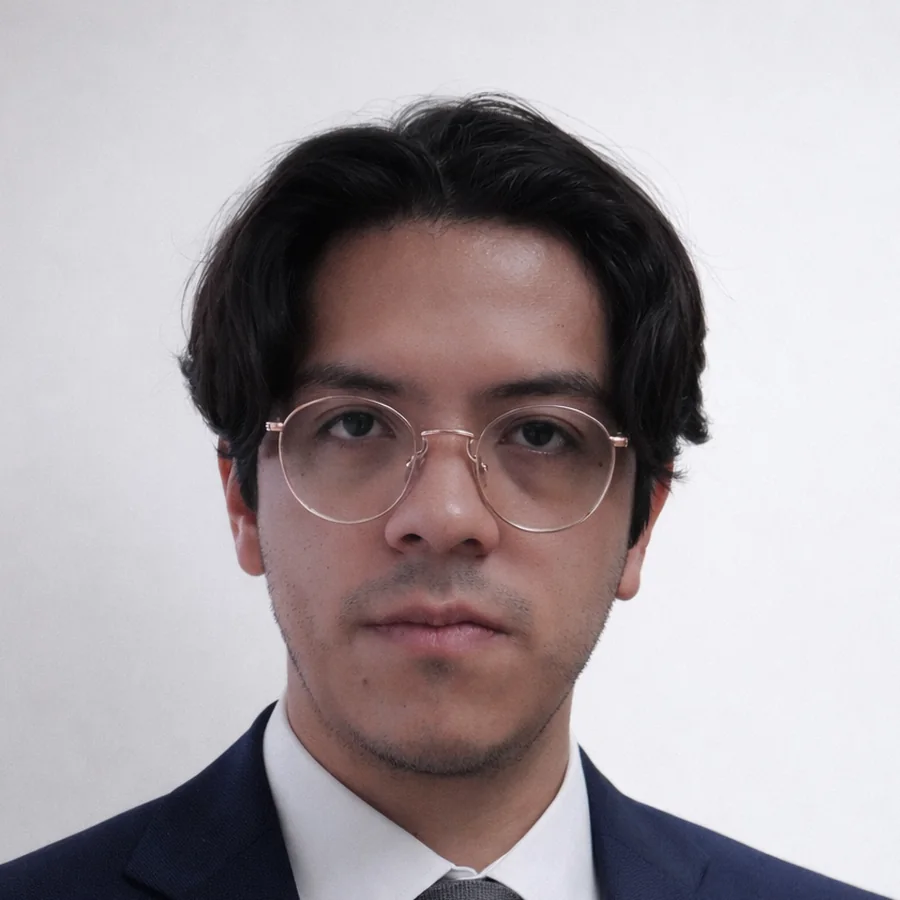
Fidel Sánchez is an architect and architectural visualization specialist with Cédula Profesional 14403378 and UNAM Faculty of Architecture training. His work focuses on architectural visualization, 3D modeling, rendering, and graphic documentation for institutional, cultural, residential, and exhibition projects. Some of his work includes architectural drafting and 3D modeling for CIMMYT, museography support for Laboratorio de Arte Alameda, and professional workflows in Blender, 3ds Max + Corona Render, Unreal Engine, AutoCAD, Revit, SketchUp, and Adobe post production tools.