
Boundary & Property Surveys
Property line, deed, easement, and site boundary documentation for Texas owners, developers, and project teams.
- Boundary surveys
- Property line determination
- Easement exhibits
- Deed and plat reference coordination
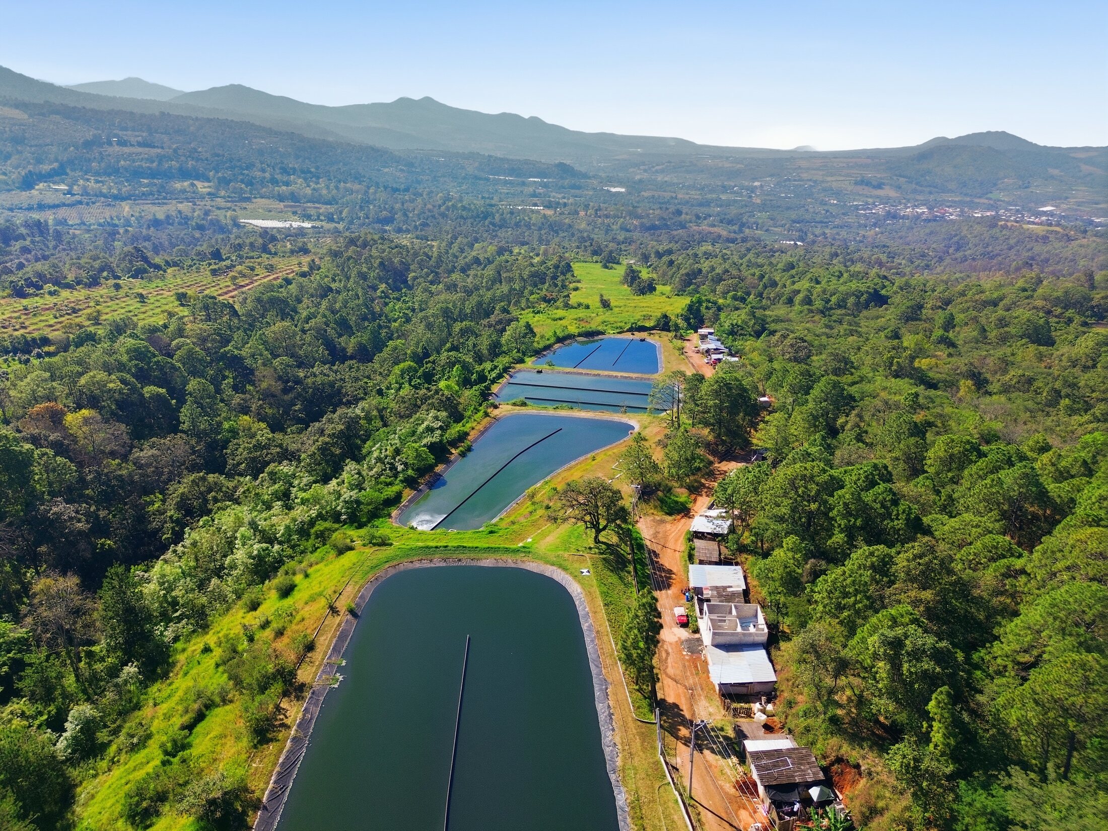
AeroFrohne combines Texas + Mexico land surveying with drone mapping, photogrammetry, LiDAR, CAD, and civil engineering context turning field conditions into clear, project ready deliverables
Property line, deed, easement, and site boundary documentation for Texas owners, developers, and project teams.
Commercial due diligence survey support for lenders, title companies, real estate teams, and acquisition workflows.
Existing condition mapping for grading, drainage, utility, land development, and civil engineering design.
Layout support for contractors, developers, and construction teams needing field staking and site control.
Survey documentation for corridors, access, utility alignments, easements, and public infrastructure coordination.
Reality capture documentation that complements licensed surveying workflows and helps teams understand existing site context.
Need interior building dimensions rather than licensed boundary or topographic work? See Property Measurement Services.
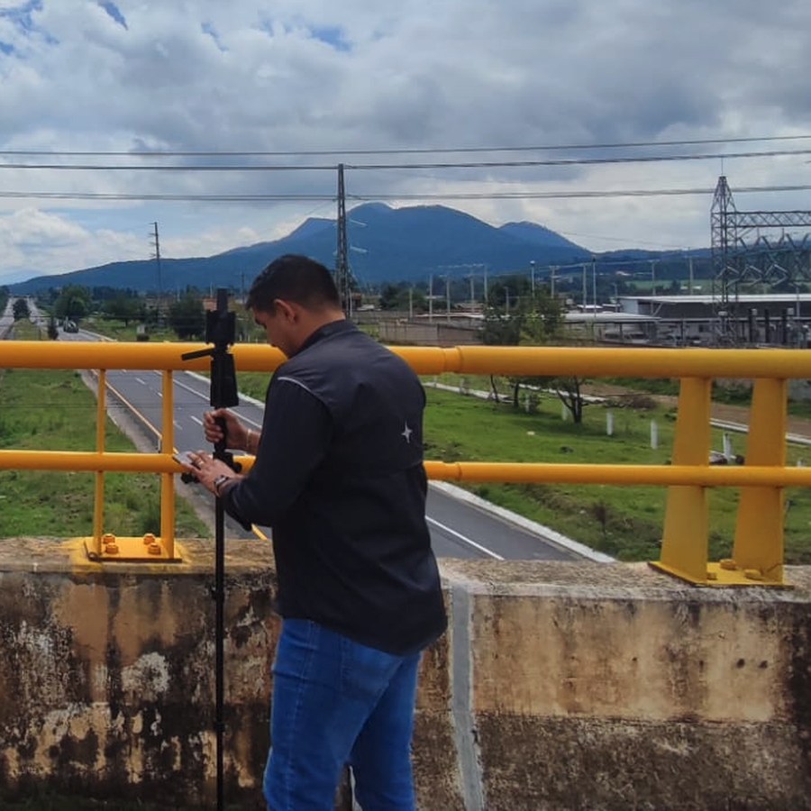
Field perspective
Civil Engineer + Surveyor
Edgar López is a civil engineer and licensed land surveyor with professional license 11427336 and more than 10 years of experience in topographic surveys, drone photogrammetry, and expert reports. Based in Apatzingán, he coordinates cadastral, judicial, and civil works surveying across Michoacán and west-central Mexico. His field workflow combines GNSS RTK, total station, AutoCAD, Civil 3D, and Pix4Dmapper to deliver clear plans, orthomosaics, point clouds, and technical files for owners, builders, and authorities.
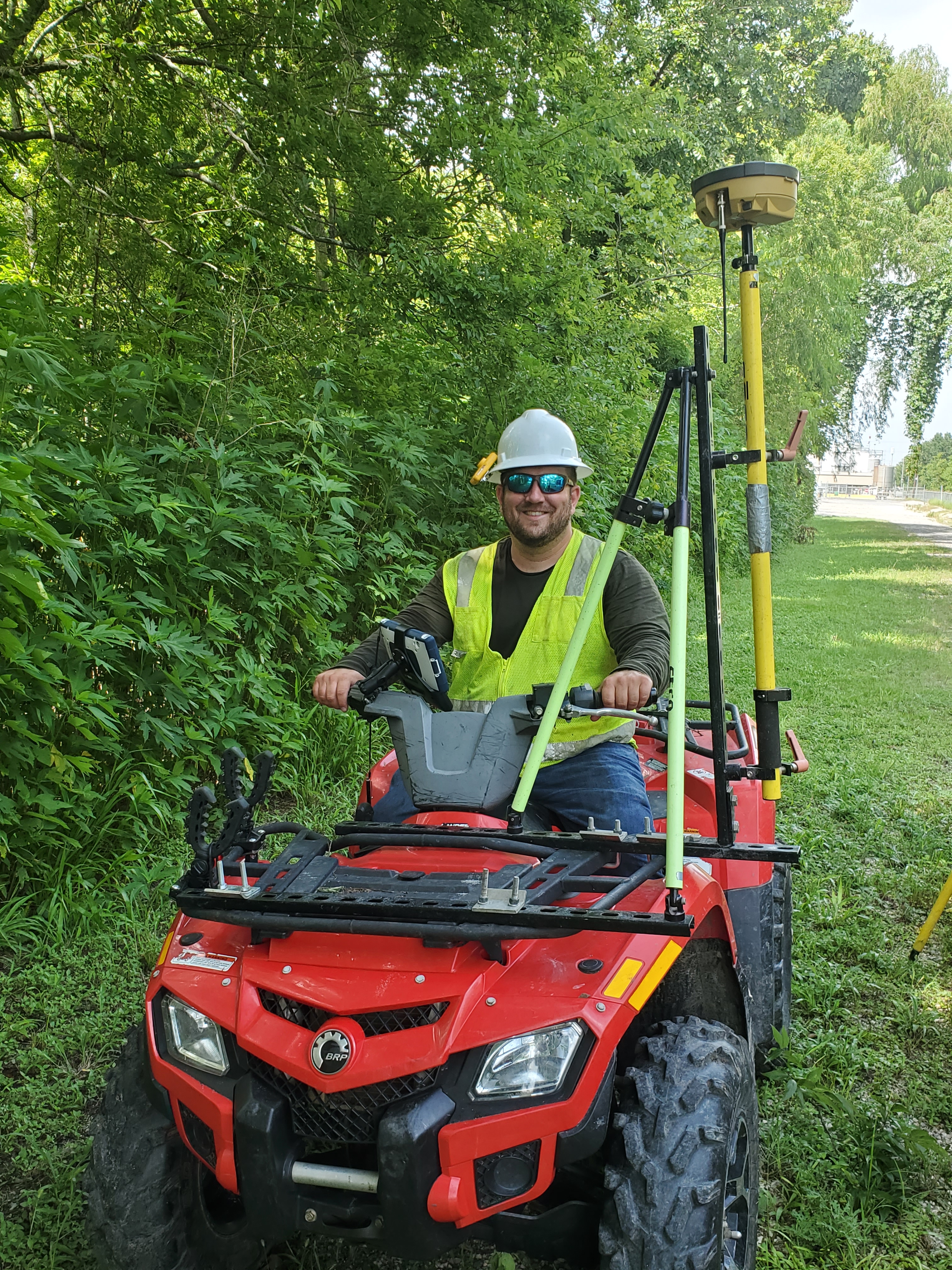
Survey leadership
Surveyor
Thomas strengthens AeroFrohne’s surveying capability with registered practice in Texas and Louisiana, TBPELS individual surveyor registration number 7034, and leadership across boundary, topographic, hydrographic, LiDAR, and UAS programs. His disciplined field execution and technical quality review help turn complex infrastructure data into dependable engineering deliverables.
Send the address, parcel details, title commitment if available, requested survey type, access notes, deadline, and target deliverables.
The team evaluates boundary, topo, ALTA, staking, control, drone, LiDAR, or documentation needs and confirms the project approach.
Deliverables may include PDF survey exhibits, CAD files, point clouds, surfaces, imagery, site references, and coordination files.
Aerial + technical portfolio
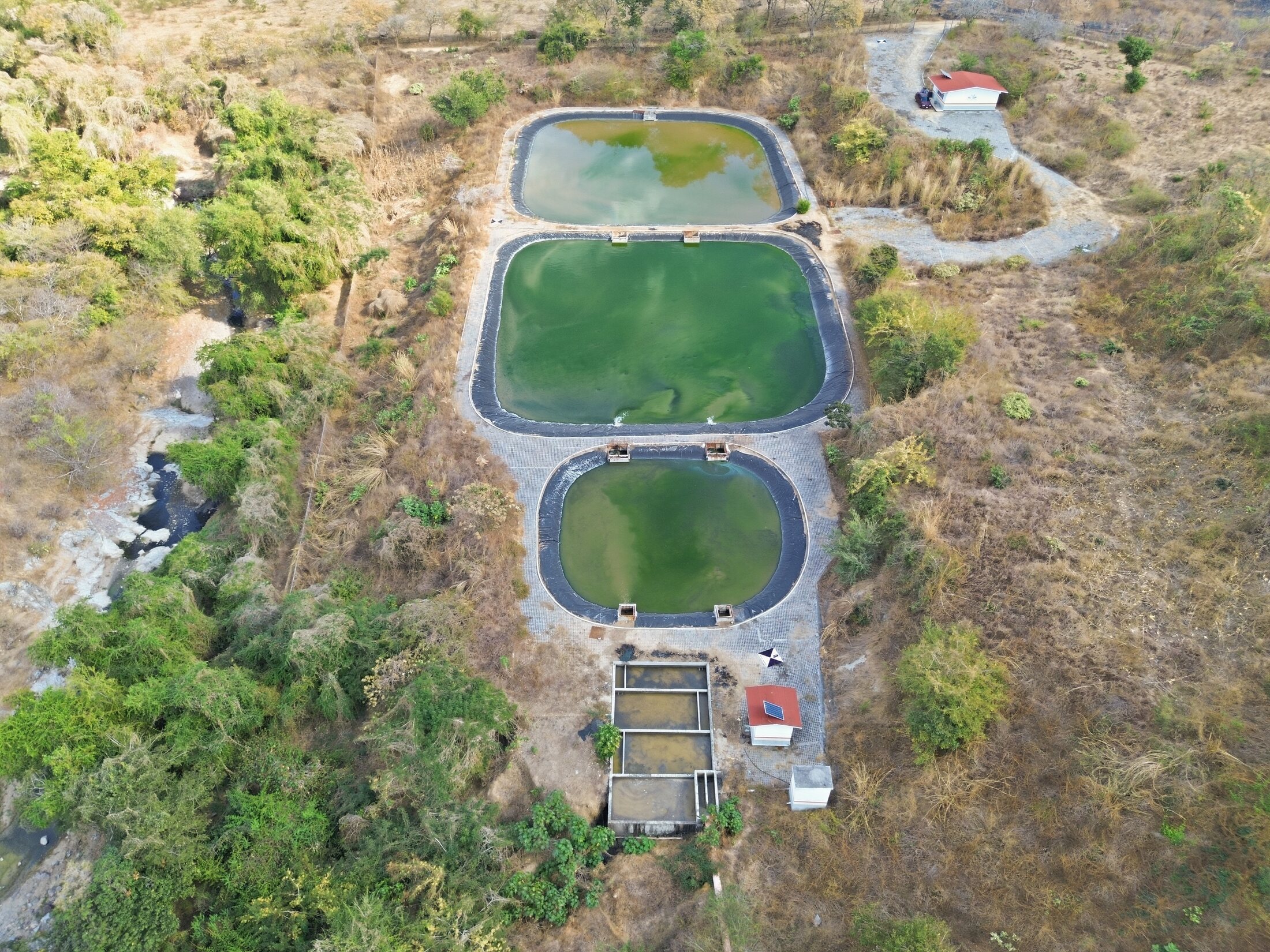
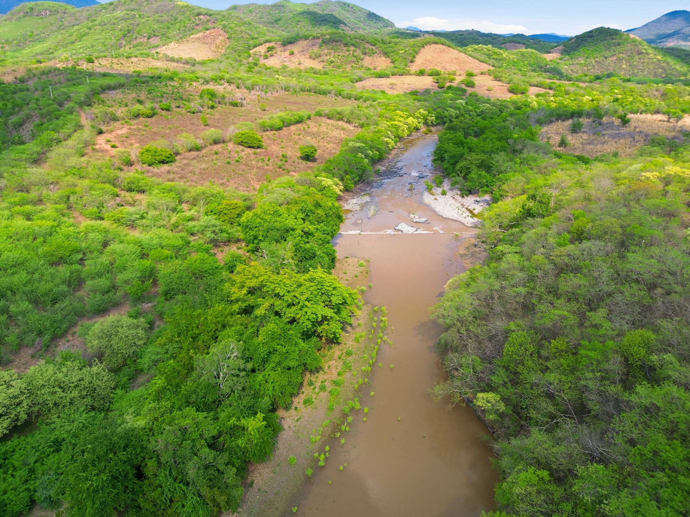
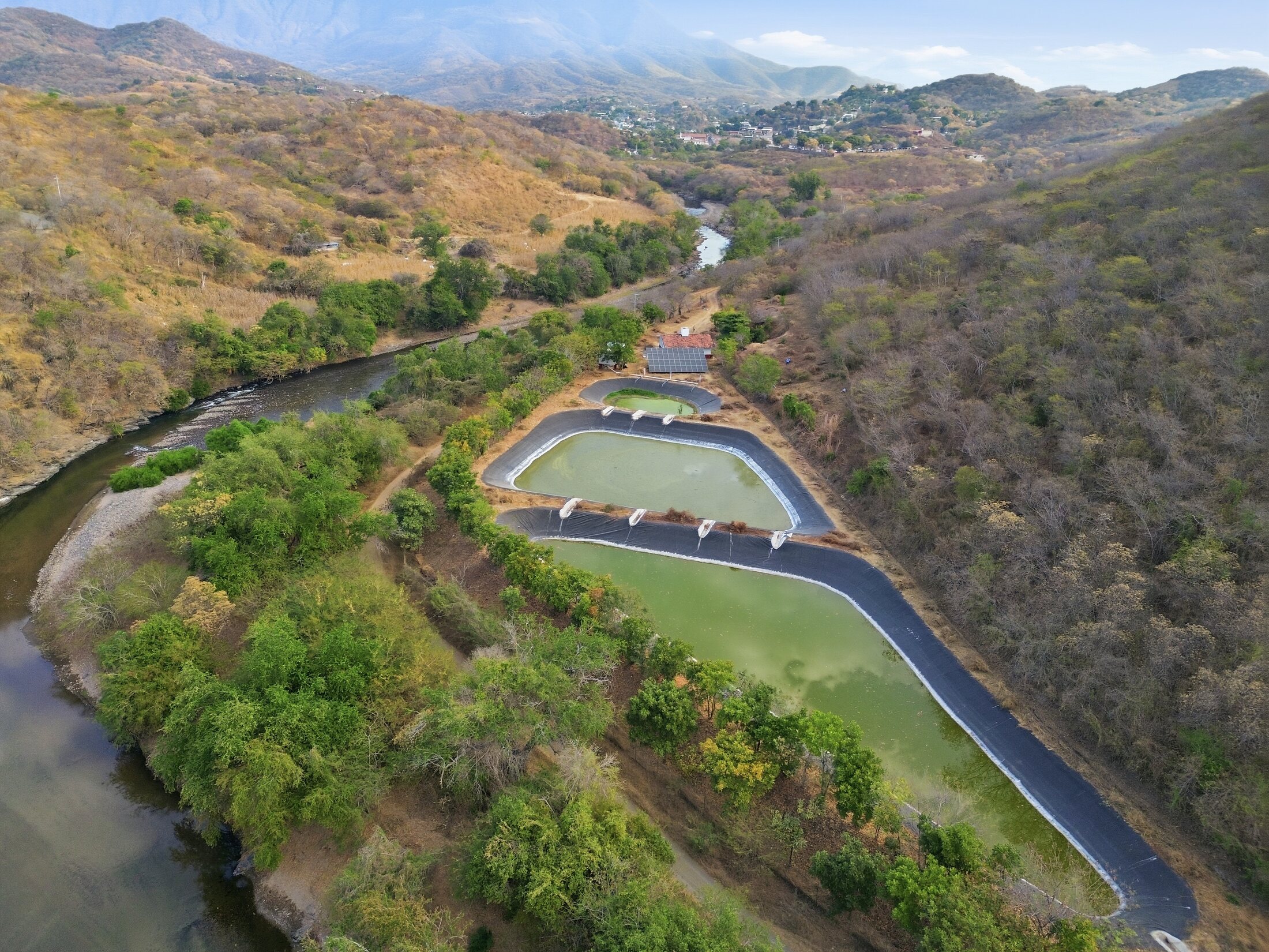
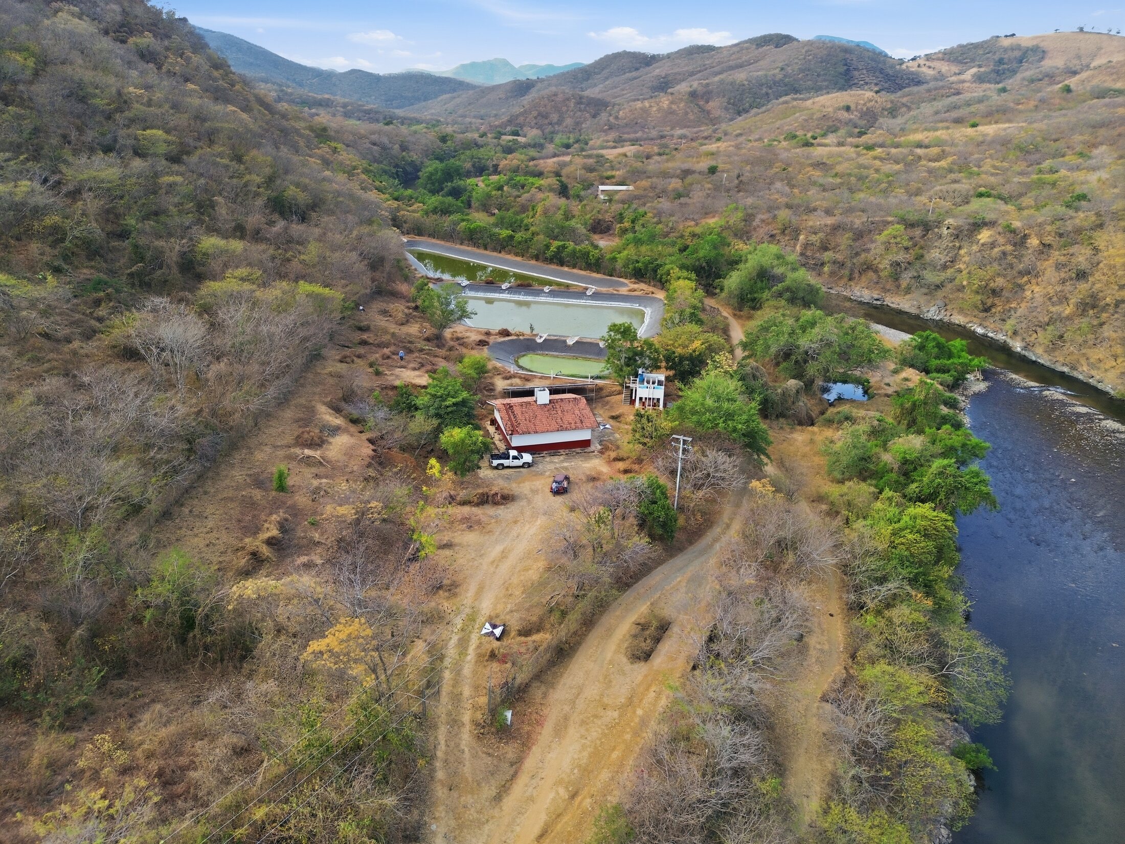
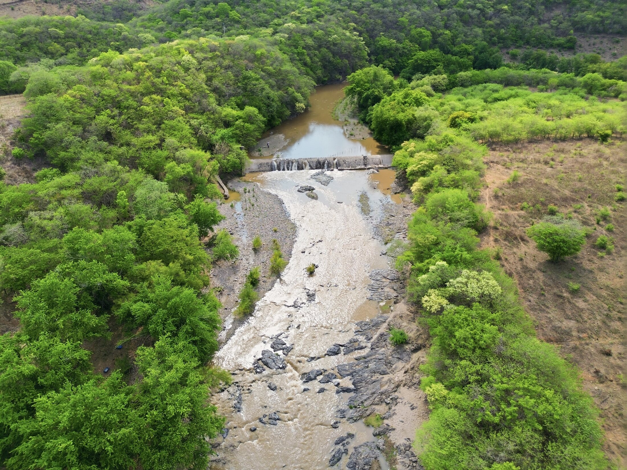
Sixteen field and technical perspectives reveal terrain, access, water, construction, survey control, and deliverable context—the visual intelligence that helps project teams ask better questions before design and field decisions.
Terrain
 Water
Water
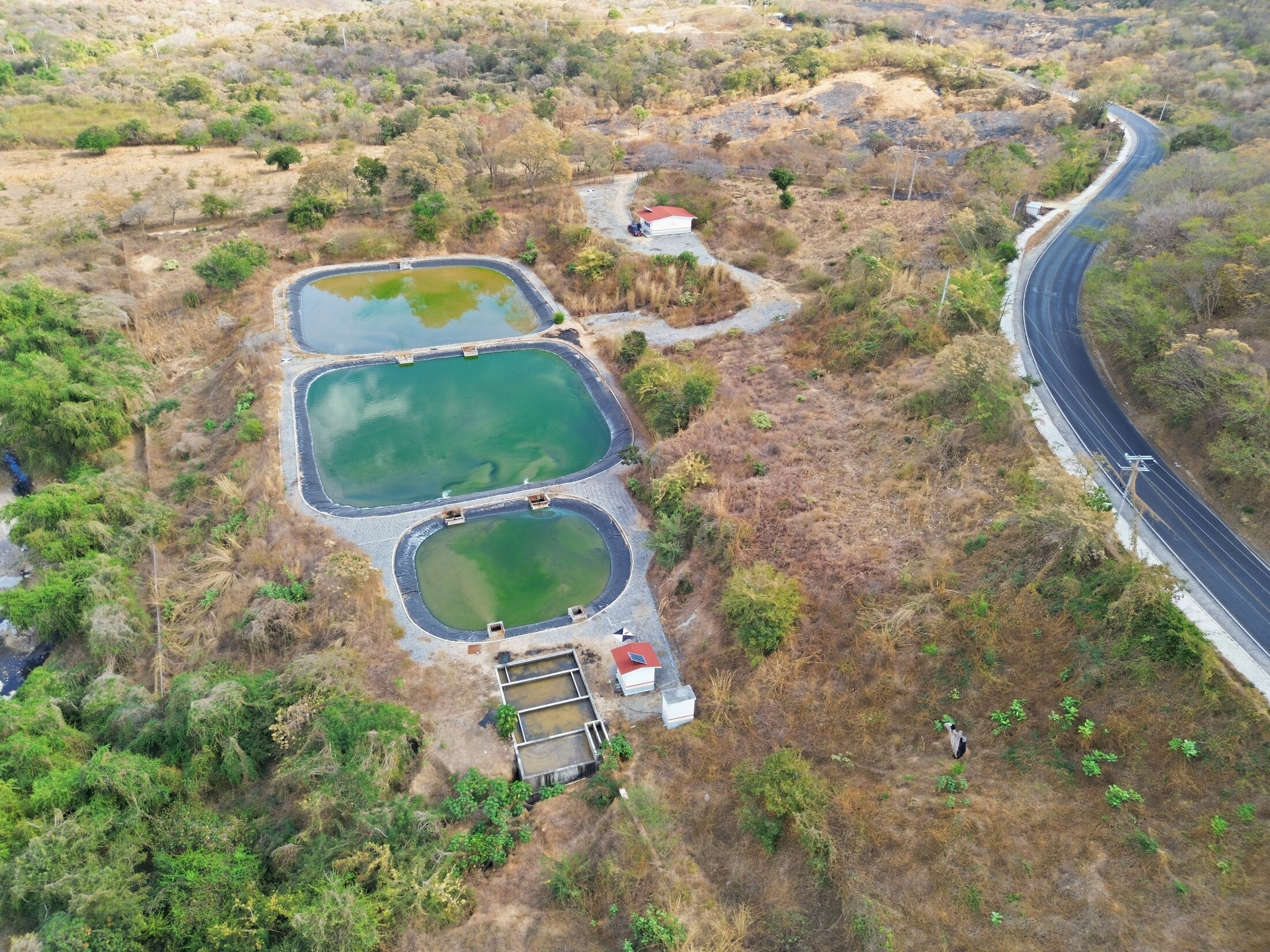 Corridor
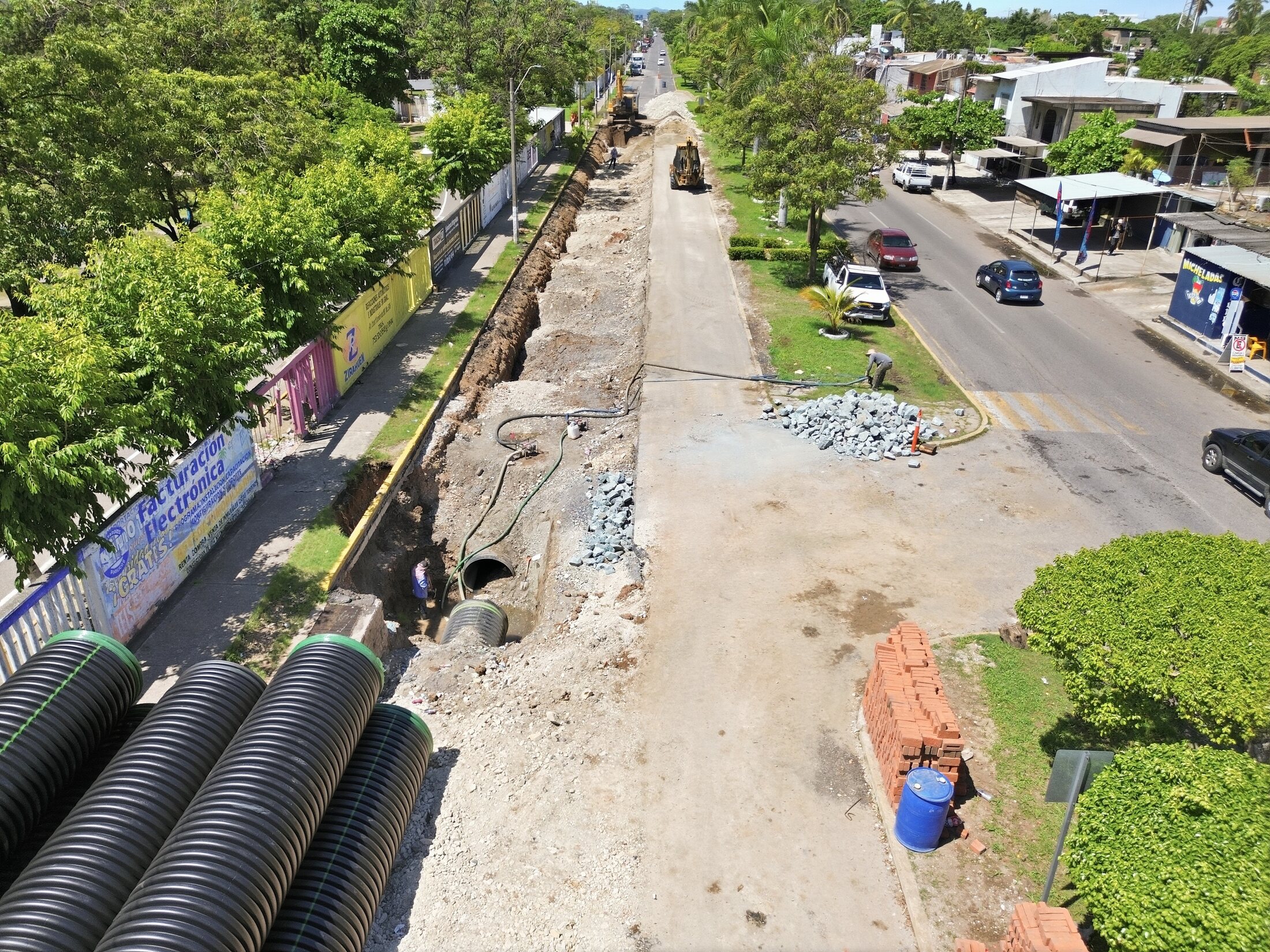 Build
Build
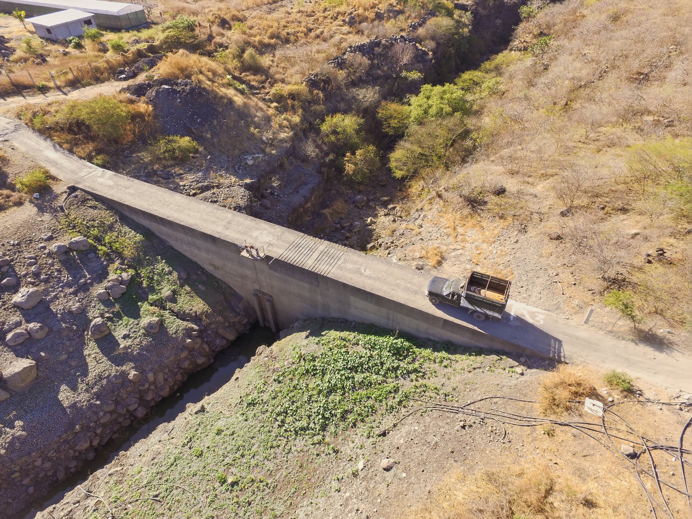 Crossing
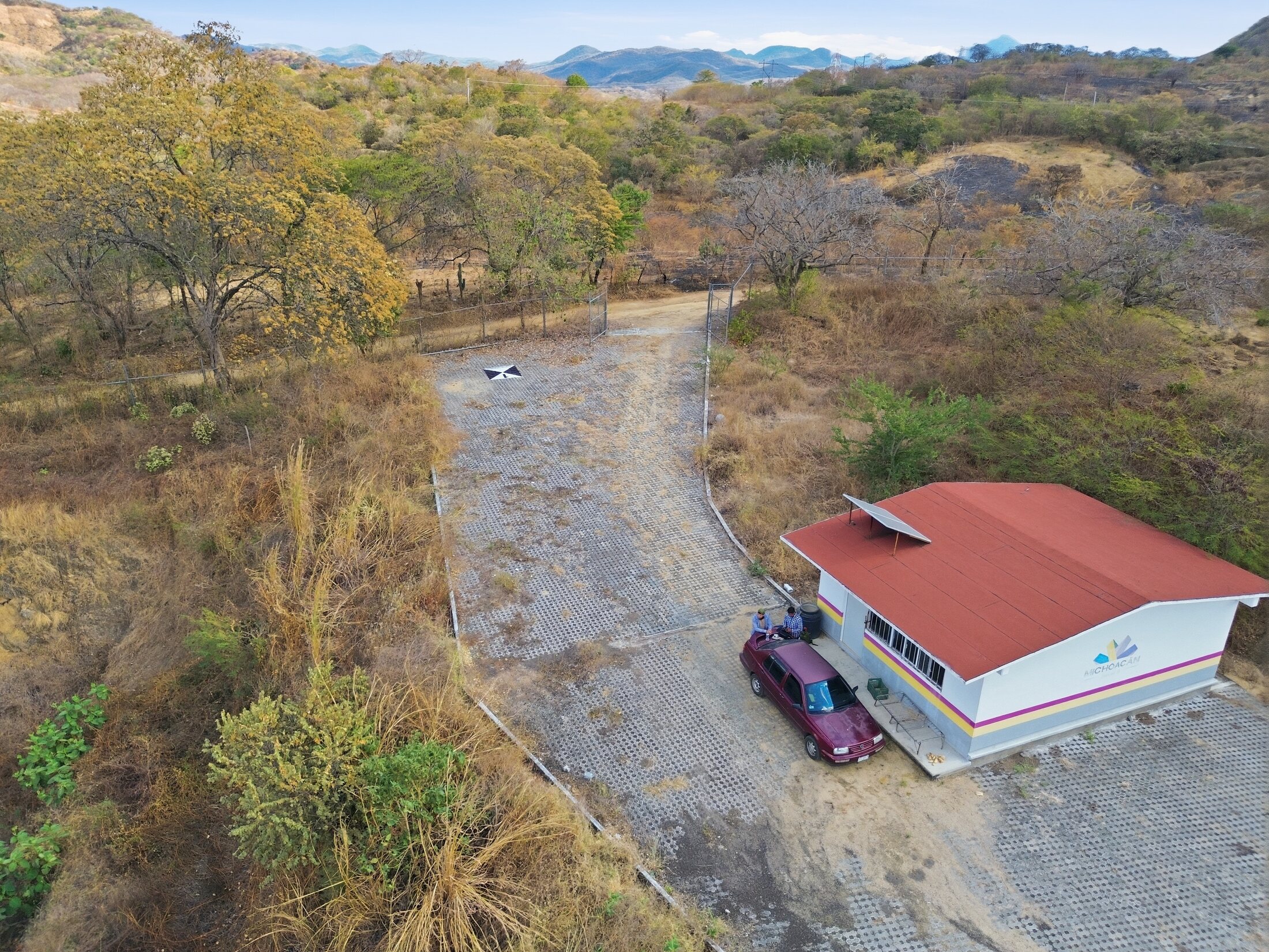 Access
 River
River
 System
 Site
Site
 Control
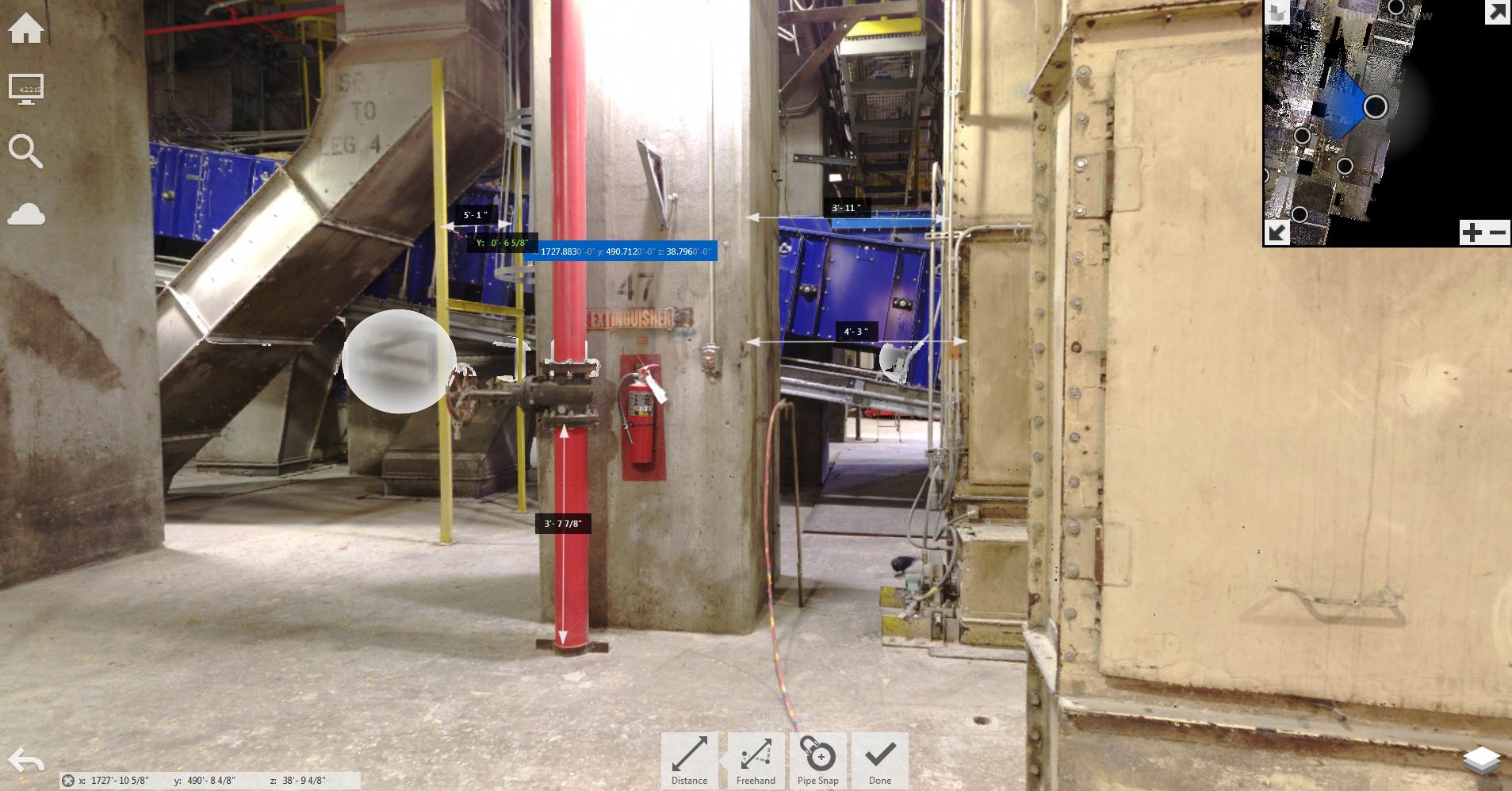 Measure
Access
Measure
Access
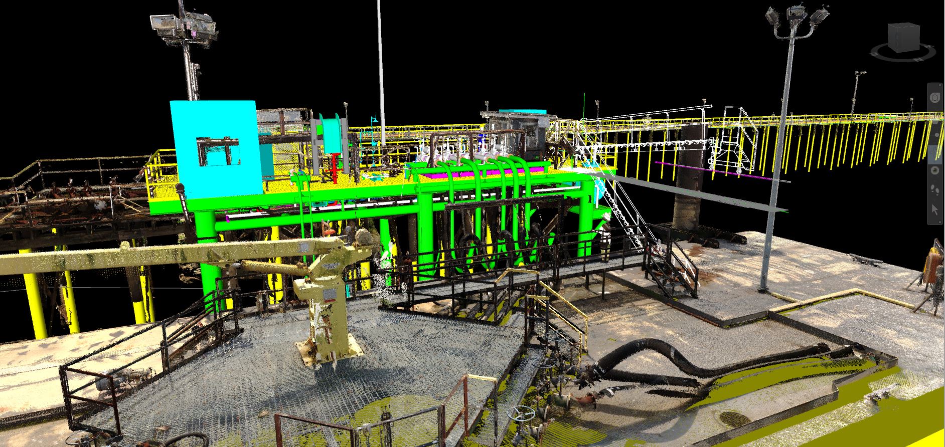 Model
Model
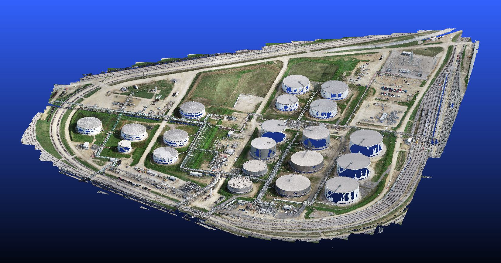 Asset
Asset
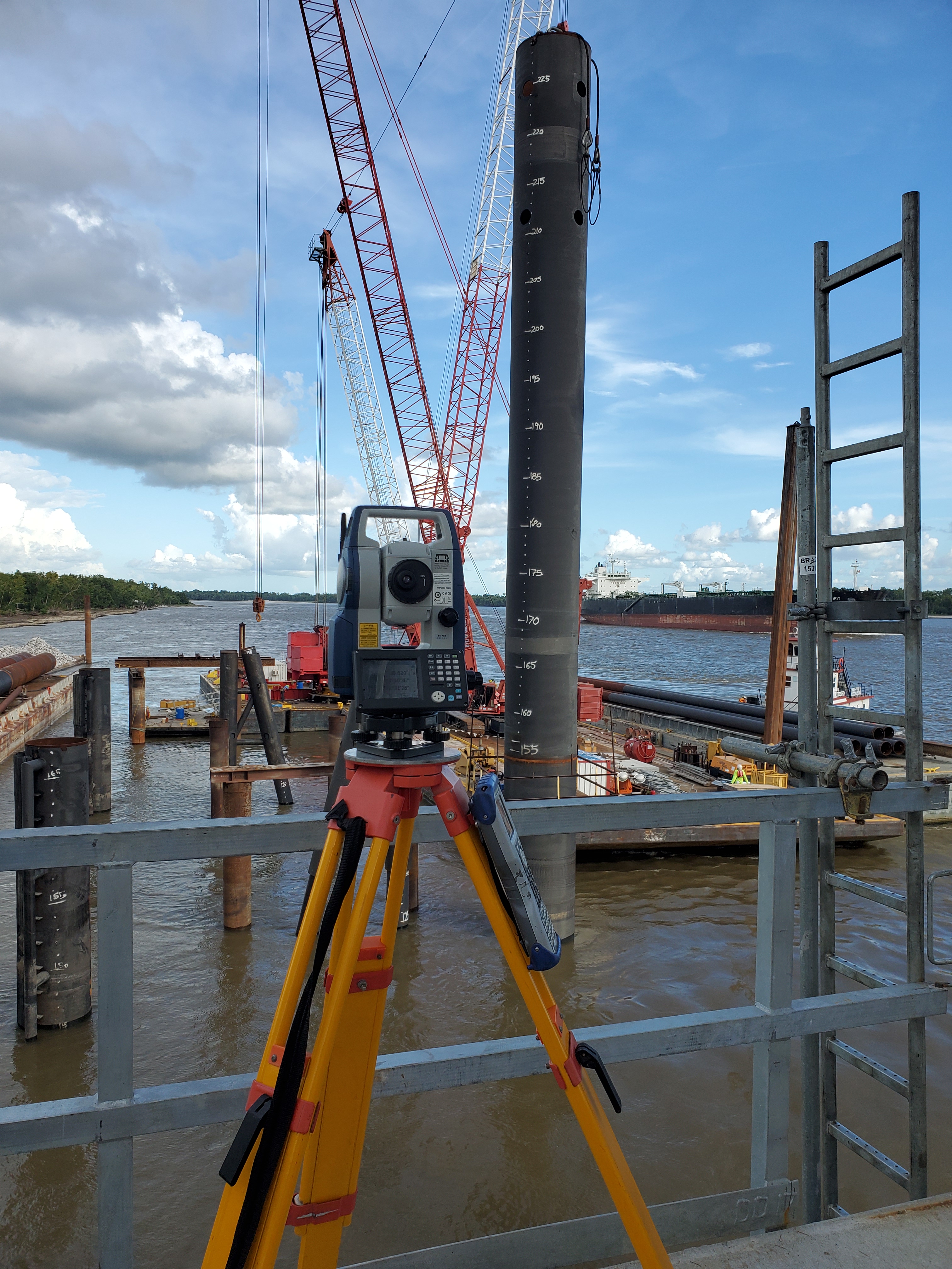 Control
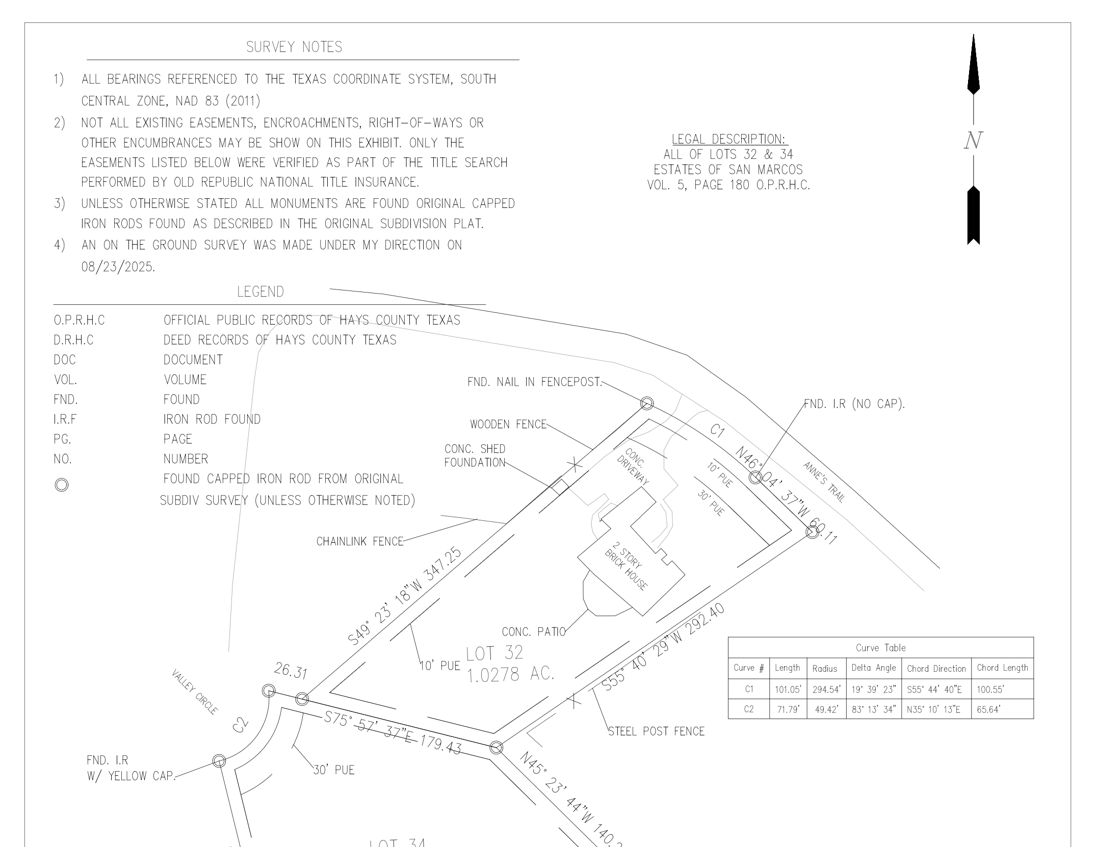 Exhibit
Yes. Texas land surveying services are coordinated through Davis Family Surveying (DFS) LLC, TBPELS Firm Registration No. 10195037, and Mexico land surveying services are coordinated through Edgar López, license number 11427336, with AeroFrohne reality capture support for point clouds, drone mapping, site visualization, engineering coordination, and technical media.
Typical deliverables may include boundary surveys, ALTA/NSPS land title surveys, topographic surveys, easement exhibits, right-of-way mapping, construction staking files, as-built survey data, CAD linework, contours, surfaces, and point cloud coordination when requested.
Yes. Survey data can be organized for civil design teams, architects, developers, contractors, and infrastructure stakeholders using CAD, point cloud, surface, and site reference deliverables.
Yes. AeroFrohne can add drone mapping, terrestrial LiDAR, 360 documentation, inspection media, and point cloud capture to support the licensed survey workflow and improve project context.
Send the site address, parcel ID, title commitment if available, existing plans, requested survey type, access instructions, deadline, and preferred deliverables such as PDF, DWG, surface, point cloud, or staking files.
Yes, Land surveying services are limited currently to Texas and Mexico
Send the address, parcel details, title documents if available, and the deliverables you need. AeroFrohne will help scope the survey, field documentation, point cloud, or design coordination package.
Browse AeroFrohne's published service pages by country and region, or open a representative location below. A listed page does not imply a staffed local office; project availability, travel, licensing, and deliverables are confirmed for each scope.